- श्रेणी
- वेब डिजाइन
- मूल्य
- Free
- विकल्प
- 6 समान उपकरण
- अंतिम अपडेट
- 2 सप्ताह पहले
- स्रोत
- आधिकारिक साइट ↗︎
AI Collection ऊपर उठाता है
वेब डिजाइन श्रेणी चयन



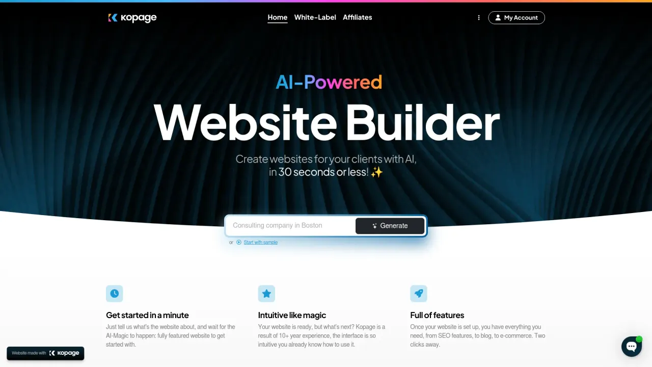
Kopage AI Website Builder
व्हाइट-लेबल AI वेबसाइट बिल्डर का इस्तेमाल तुम अपने क्लाइंट्स के लिए अपने ब्रांड के तहत वेबसाइट बनाने के लिए कर सकते हो
Ultimaps के बारे में
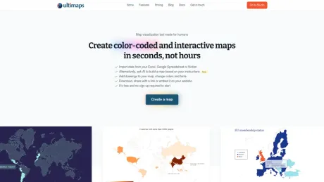
अल्टिमैप्स एक ऑनलाइन ऐप है, जिसकी मदद से यूज़र कुछ ही सेकंड में एक्सेल फ़ाइलों या AI प्रॉम्प्ट से कलर-कोडेड मैप और चार्ट बना सकते हैं। मानचित्रों को प्रिंट करने योग्य फ़ॉर्मेट में एक्सपोर्ट किया जा सकता है या इंटरैक्टिव तत्वों के साथ एक्सपोर्ट किया जा सकता है और लिंक के माध्यम से शेयर किया जा सकता है या किसी वेबसाइट पर एम्बेड किया जा सकता है। किसी खास ज्ञान की आवश्यकता नहीं है - हम चाहते हैं कि यह सबके लिए आसान हो!
अक्सर पूछे जाने वाले प्रश्न
What is Ultimaps used for?
कुछ ही सेकंड में कलर-कोडेड इंटरैक्टिव नक्शे बनाएं.Is Ultimaps free?
Ultimaps is free to use.What are alternatives to Ultimaps?
Top alternatives to Ultimaps include Linkrr, Kopage AI Website Builder, Magician, Designs AI, welovenocode.Where can I get Ultimaps?
Ultimaps is available at https://ultimaps.com.What category is Ultimaps in?
Ultimaps is listed in वेब डिजाइन.Do I need to sign up to use Ultimaps?
No. You can start creating maps immediately without an account. We only ask you to sign up if you want to save your maps to your account or publish them as interactive maps.What maps are available?
Ultimaps includes 100+ vector maps covering every continent divided by country, major countries divided by administrative regions (states, provinces, departments), and all 50 US states divided by county. Browse the full list in our map collection.Can I import my own data?
Yes. You can upload Excel files, CSVs, connect a Google Sheet or Notion database, or paste data directly. You can also use an AI prompt to describe what you want. Ultimaps will match your data to the correct regions automatically.How is Ultimaps different from MapChart?
MapChart is great for manually coloring maps, but it doesn't support data import, interactive maps, or website embedding. Ultimaps lets you import data from spreadsheets, automatically generate choropleths with legends, publish interactive maps with tooltips and popups, and export in vector formats (SVG, PDF) — all in your browser.Can I embed maps on my website?
Yes. Any map you create can be published and embedded on your website with a single line of code. Your embedded maps are interactive — visitors can hover over regions to see tooltips and click for more detail. Embeds work on any CMS or website builder and are fully responsive across devices.Can I use Ultimaps maps commercially?
Yes. Free plan exports include a small "made with ultimaps.com" attribution. Paid plans remove the attribution entirely, giving you clean maps with no branding, unlike most map providers (including OpenStreetMap-based tools), which typically require visible attribution.What file formats can I export?
The free plan exports PNG images at standard resolution. The Pro plan adds high-resolution PNG (~7000×7000px), SVG (vector, scalable, print-ready), and PDF. All paid exports are attribution-free.Can you build a custom map for my specific region?
Yes. If you need a map that isn't in our library — a custom region, a non-standard division (like Texas split into custom zones), or a world map with a specific projection — our team builds it for you. Custom maps start at €49 and typically take 1–3 business days.Do you offer discounts for non-profits?
Yes. We offer a 30% discount on all subscription plans for non-profit organizations. Contact us and we will apply the discount to your account.Is Ultimaps the same as Google Maps?
No. Google Maps, Mapbox, and similar services are tile-based — they show streets, satellite imagery, and more detail as you zoom in. Ultimaps creates clean vector maps divided by administrative regions (states, counties, countries) that you color with your own data. Think of it as the difference between a street map and a data visualization. If you need to show "how does this metric vary across regions," Ultimaps is built for that.
Ultimaps की तुलना करें…
किसी भी टूल को चुनें और संरचित तुलना देखें: मूल्य, परिनियोजन, क्षमताएँ और कंटेंट नीति।